Log in
All resources
Create a design
3,437 Free Images of North Island
history
historical
cc-zero
images from anefo
images from nationaal archief
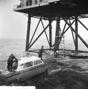
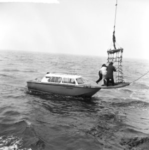
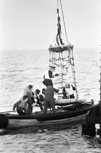
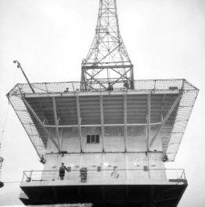
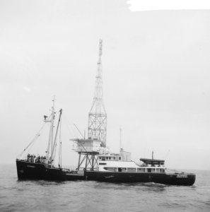
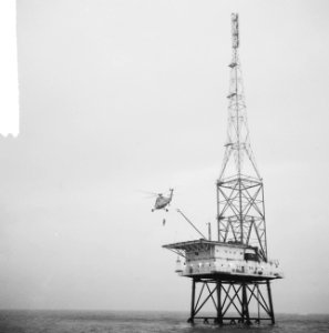
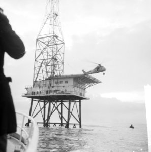
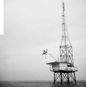
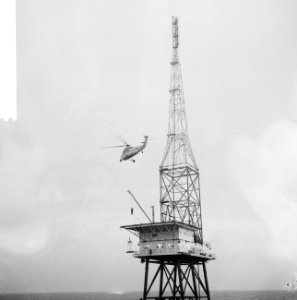
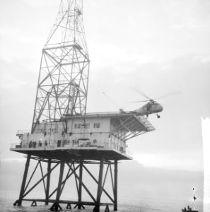
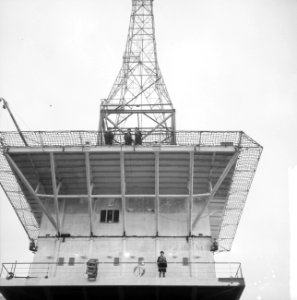
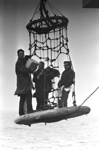
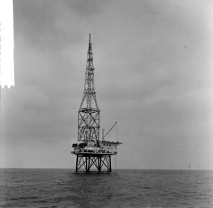
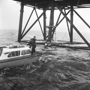
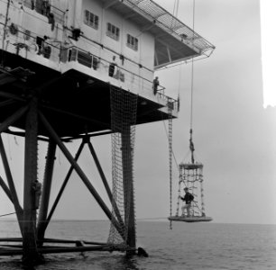
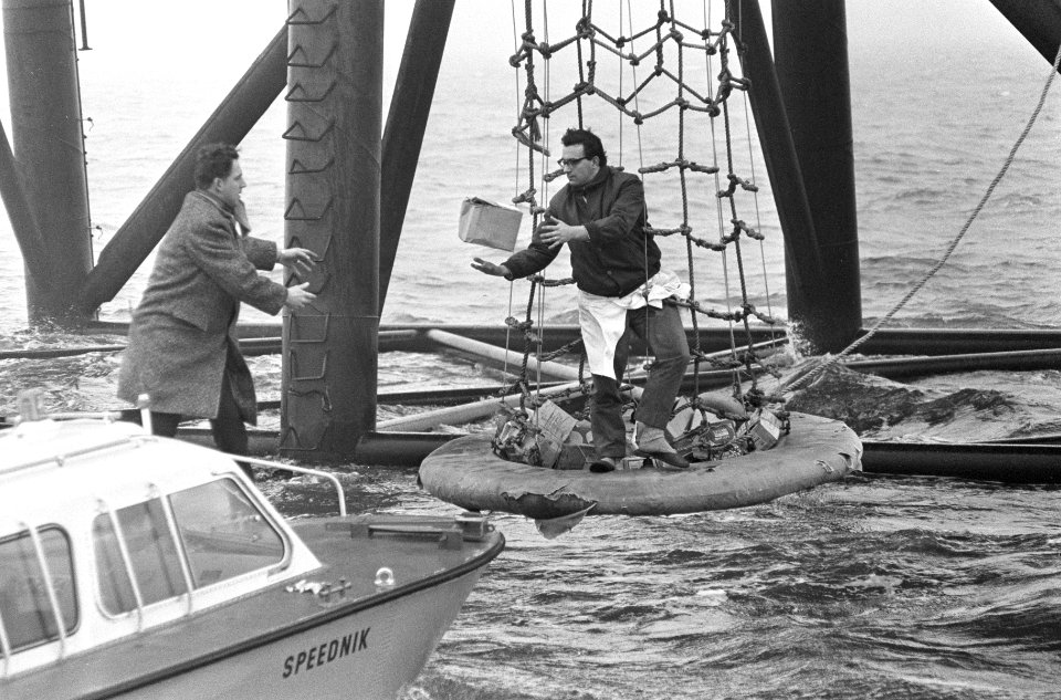
rem island (north sea)
north carolina
bahamas
florida
georgia
maps by willem and johannes blaeu
1610s maps of the americas
historical
history
historical
history
historical
history
historical
history
historical
history
historical
history
a map of the british empire in america with the french and spanish settlements adjacent thereto
bibliothèque nationale de france
a map of the british empire in america with the french and spanish settlements adjacent thereto
bibliothèque nationale de france
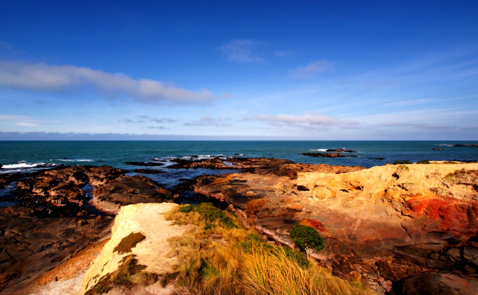
water
sea
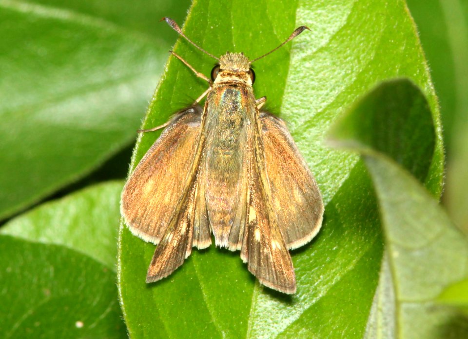
butterfly
animals
united states
new york
human
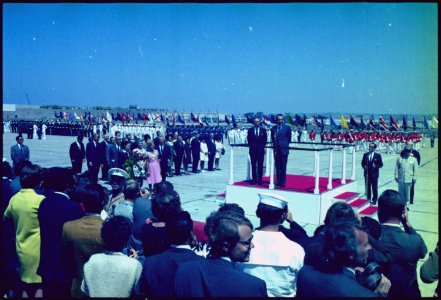
ww1
a map of the british empire in america with the french and spanish settlements adjacent thereto
bibliothèque nationale de france
a map of the british empire in america with the french and spanish settlements adjacent thereto
bibliothèque nationale de france
a map of the british empire in america with the french and spanish settlements adjacent thereto
bibliothèque nationale de france
plants
bird
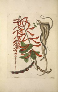
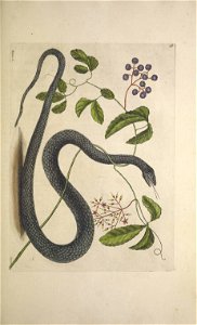
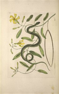
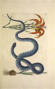
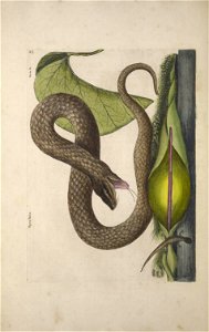
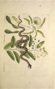
reptiles
snake
reptiles
snake
bahamas
botany
reptiles
snake
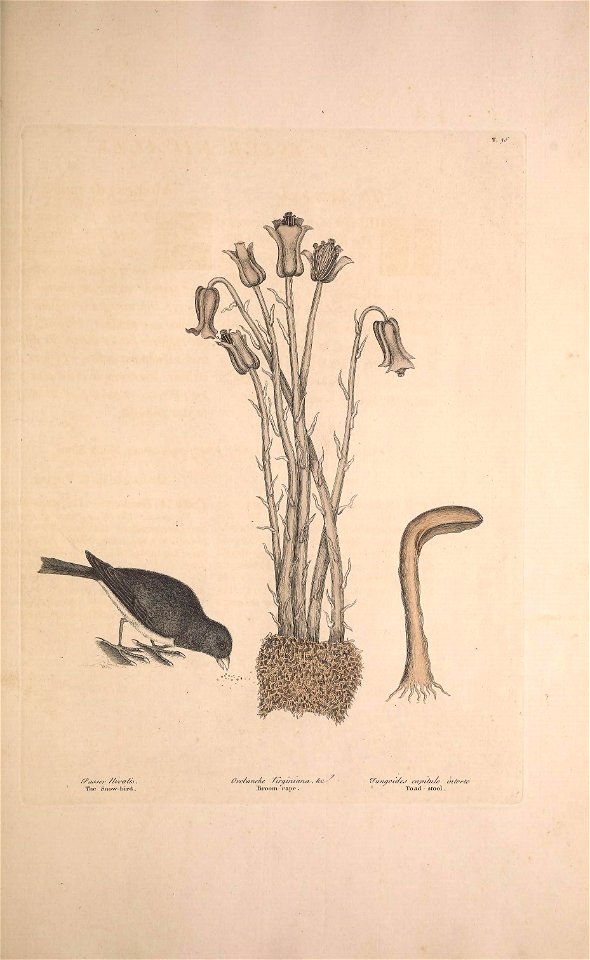
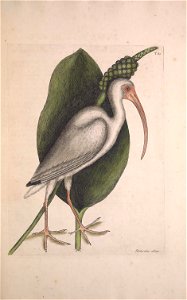
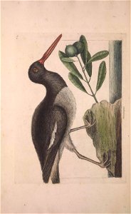
plants
bird
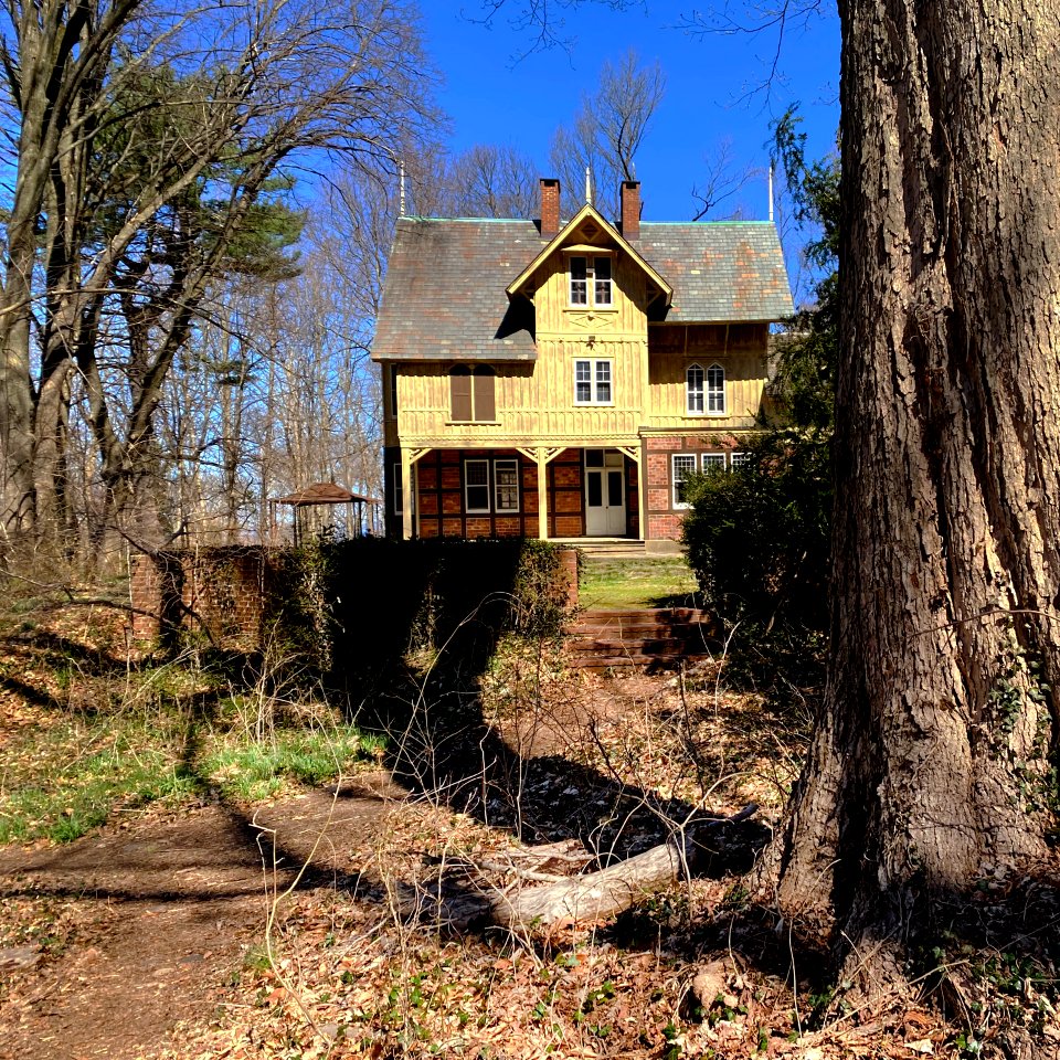
building
skyline
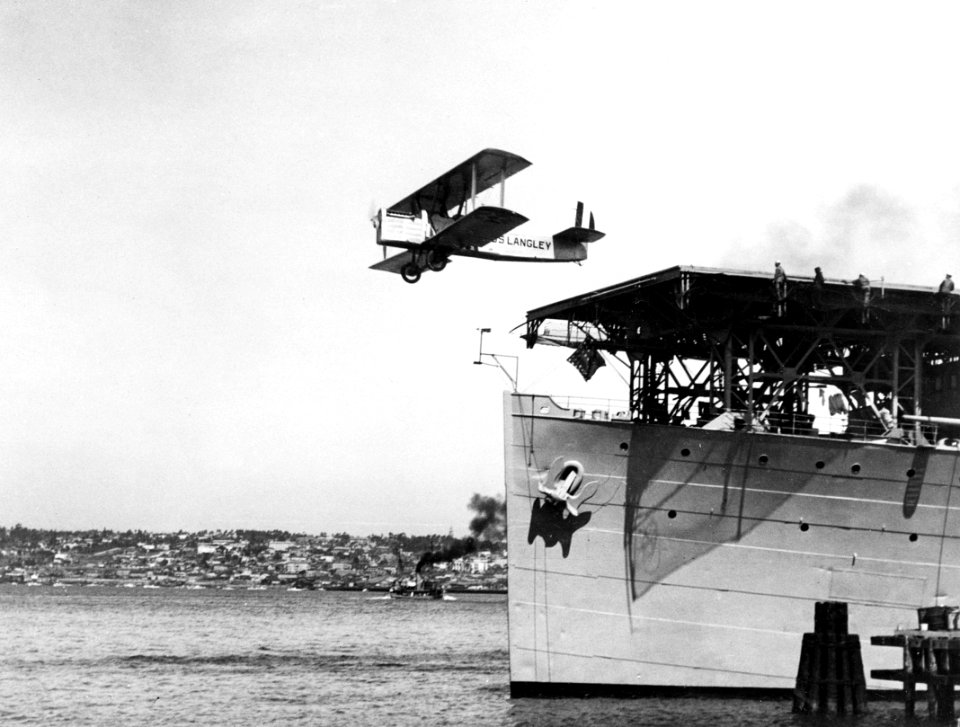
uss jeannette (ship, 1878)
james gale tyler
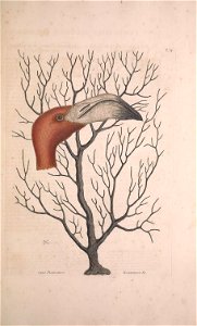
drawings by adrianus johannes bik in the rijksmuseum amsterdam
adrianus johannes bik
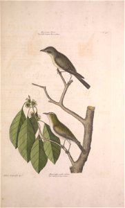
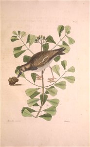
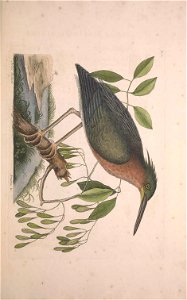
plants
bird
plants
bird
plants
bird
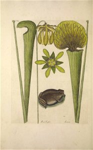
botany
toad
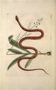
reptiles
snake
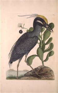
flamingo
bird
plants
bird
reptiles
snake
reptiles
snake
historical
history
historical
history
historical
history
historical
history
historical
history
historical
history
historical
history
historical
history
historical
history
historical
history
historical
history
historical
history
historical
history
historical
history
historical
history
geocentric model
1730 maps
das illustrirte mississippithal, henry lewis, 1857
rock island, illinois
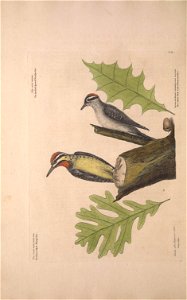
a history of the birds of new zealand by buller
art in the national library of new zealand
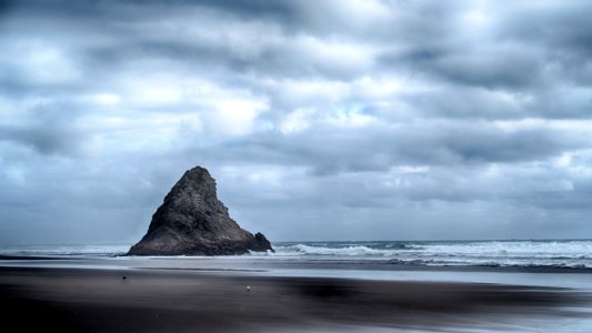
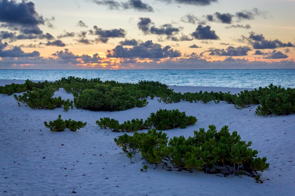
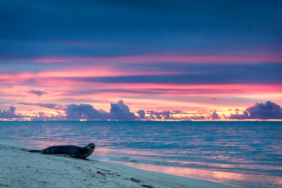
landscape
sunset
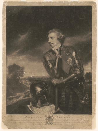
james watson (engraver)
james watson
1696 maps of the caribbean
1690s maps of mexico
landscape
travel
historical
history
jodocus hondius ii, nova totius terrarum orbis geographica ac hydrographica tabula, 1636
eran laor cartographic collection
historical
history
historical
history
historical
history
historical
history
drawings by adrianus johannes bik in the rijksmuseum amsterdam
adrianus johannes bik
historical
history
historical
history
historical
history
historical
history
historical
history
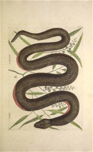
reptiles
snake
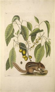
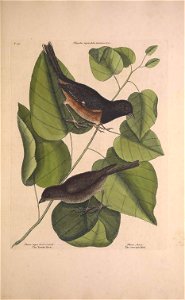
plants
bird
plants
bird
old geological maps by jean-etienne guettard
jean étienne guettard
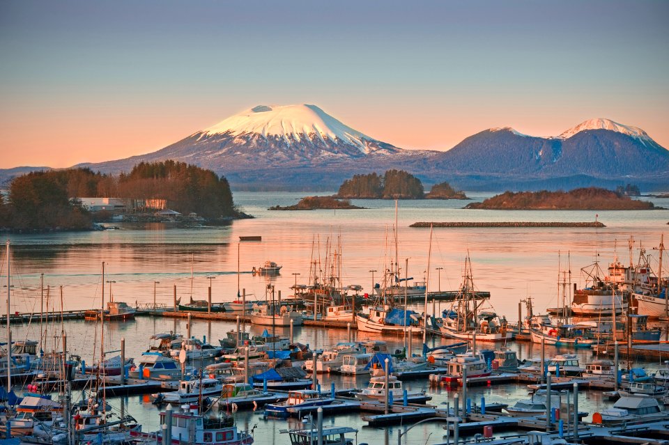
landscape
bird
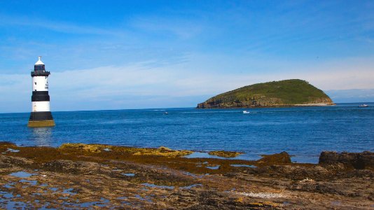
landscape
sea
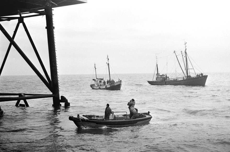
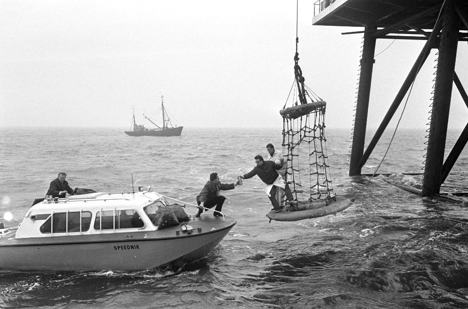
water
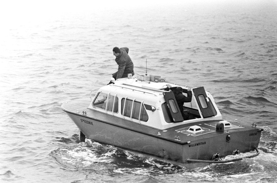
boat
autumn
water
landscape
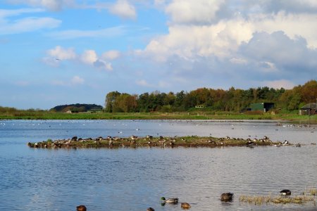
water
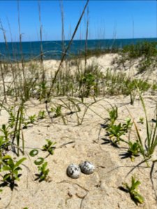
bird
egg
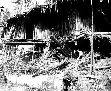
41st infantry division
pacific theater
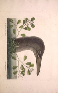
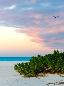
bird
sea
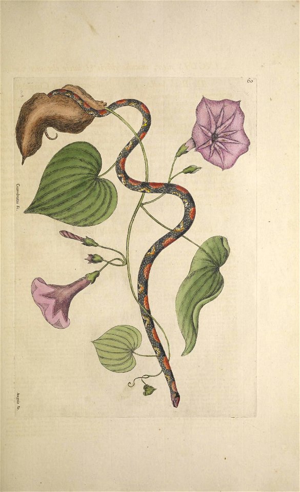
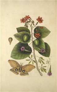
morning glory
flower
amphibian
reptiles
plants
bird
plants
bird
bird
tree
plants
bird
plants
bird
reptiles
snake
das illustrirte mississippithal, henry lewis, 1857
fort armstrong
maps of the iberian peninsula by mercator-hondius
maps by pieter van der keere
lübeckerbräschen
lars cedergren
historical
history
historical
history
historical
history
historical
history
historical
history
historical
history
1770s maps of alaska
robert de vaugondy
daniel de la feuille
1706 maps of italy
landscape
sea
3201 - 3300 of 3,437
Next page
/ 35